22.10.2021
Australia & World
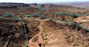
AI that promotes innovation in geographic information systemsForums have heard that artificial intelligence is transforming the Geographic Information Systems (GIS) industry.
AI uses processes such as detailed planning, post-processing algorithms, and layers of machine learning to extract attributes from aerial data such as road surfaces, solar panels, utility poles, and construction machinery.
GIS technology is currently used by government agencies, insurance companies, private companies, researchers, disaster Planner and even creative.
Phil Healy, Manager of Enterprise GIS Services in Kingston, Ontario, Canada, uses aerial mapping products from Nearmap, an Australian location data company, for planning, designing, building, and maintaining assets...
All of it : LINK


Add to My Watchlist
What is My Watchlist?