No, SB, it was never full. It's just SC being SC and TB being TB. SC may have used the cropped pics (no date-stamps) to trigger TB.
You can verify youself by using the Timeline (correct term?) feature in Google Earth which shows diff images taken for the same zoomed-in area over date-stamped (keyword) times over the years. You'll see a small amount of seasonal level fluctuation, but you wont be surprised to see ZERO material change in recent times.
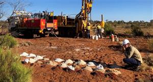
Some dewatering of the pit occurred following the 2018 CR (and into early 2019, from memory), but that was eventually terminated.
Date stamps are very useful or inconvenient, depending on one's personal outlook or agenda.
No, SB, it was never full. It's just SC being SC and TB being...


Add to My Watchlist
What is My Watchlist?