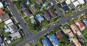
Is there any talk of having topography overlaid on the aerial images?
I'm told by some in the Building development game that they are having to access local Council mapping and then manually scale and overlap the images themselves to get accurate elevations of the land mass pictured.
Fiddly, time consuming and a bit of a P in the A to get accurate presentations.