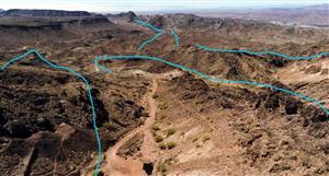
Looking at these two satellite images and the now missing stockpiles on the bottom right of screen, Looks like they have started work in the pit again.
The updated image claims to be a new sat image every day looks like activity and drill holes without a digger so are they about to pop that supergene area ?????. Or is it gone like cotton eyed Joe. I really dont know but some dirt doctors used to follow this stock so if anyone has an idea on activity from images as in depth etc, I dont remember what depths it was at.
Normal google earth.
https://www.google.com.au/maps/sear...s/@-20.6725692,140.3617303,790m/data=!3m1!1e3
Zoom earth claims to be updated daily.
https://zoom.earth/#-20.671777,140.362895,18z,sat
Not ramping guys just trying to understand the different images and what has been proccesed so far.


Add to My Watchlist
What is My Watchlist?